Log in
All resources
Create a design
2,891 Free Images of Joan Blaeu
british library
copper engraving print
atlas maior, vol 2 (sweden, russia, poland, eastern europe, and greece) - joan blaeu, 1667 - bl 114.h(star).2
maps by willem and johannes blaeu
atlas maior, vol 5 (england) - joan blaeu, 1667 - bl 114.h(star).5
1667 maps of russia
1667 maps
atlas maior, vol 10 (spain and africa) - joan blaeu, 1667 - bl 114.h(star).10
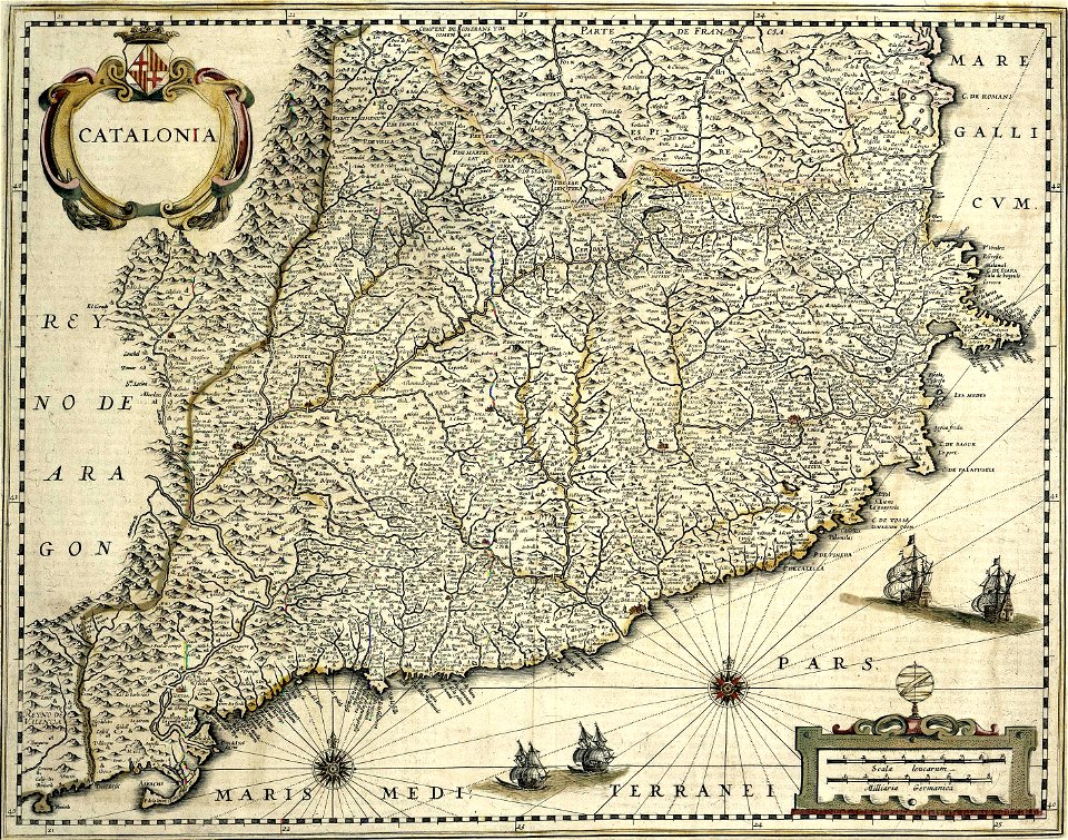
1660s maps of spain
atlas novus (blaeu)
maps by willem and johannes blaeu
coats of arms of zeeland
atlas maior, vol 2 (sweden, russia, poland, eastern europe, and greece) - joan blaeu, 1667 - bl 114.h(star).2
1667 maps of russia
atlas maior, vol 2 (sweden, russia, poland, eastern europe, and greece) - joan blaeu, 1667 - bl 114.h(star).2
1667 maps of russia
atlas maior, vol 2 (sweden, russia, poland, eastern europe, and greece) - joan blaeu, 1667 - bl 114.h(star).2
1667 maps of russia
atlas maior, vol 2 (sweden, russia, poland, eastern europe, and greece) - joan blaeu, 1667 - bl 114.h(star).2
1667 maps of russia
atlas maior, vol 2 (sweden, russia, poland, eastern europe, and greece) - joan blaeu, 1667 - bl 114.h(star).2
magni ducatus lithuaniae
maps by willem and johannes blaeu
old maps of gorinchem
maps by willem and johannes blaeu
old maps of dordrecht
atlas maior, vol 5 (england) - joan blaeu, 1667 - bl 114.h(star).5
old maps of the channel islands
atlas maior, vol 2 (sweden, russia, poland, eastern europe, and greece) - joan blaeu, 1667 - bl 114.h(star).2
1667 maps of russia
atlas maior, vol 12 (america) - joan blaeu, 1667 - bl 114.h(star).12
1667 maps of north america
old maps of enkhuizen
atlas van loon
maps of rotterdam by berckenrode
kolk (rotterdam)
atlas maior, vol 5 (england) - joan blaeu, 1667 - bl 114.h(star).5
old county maps of caernarfonshire
atlas maior, vol 10 (spain and africa) - joan blaeu, 1667 - bl 114.h(star).10
1667 maps
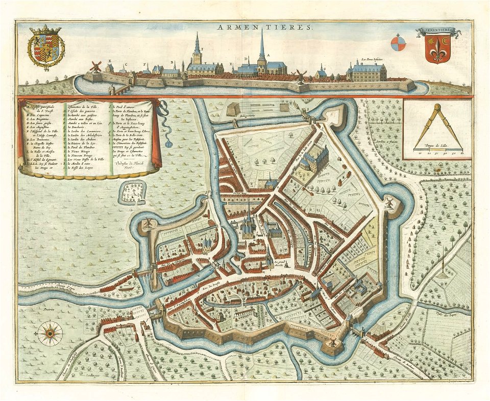
maps of venlo by willem and johannes blaeu
venlo in the 17th century
135th meridian east
tasman map
1660s maps of spain
1667 maps
atlas maior, vol 10 (spain and africa) - joan blaeu, 1667 - bl 114.h(star).10
1667 maps of europe
atlas maior, vol 5 (england) - joan blaeu, 1667 - bl 114.h(star).5
old county maps of denbighshire
atlas maior, vol 5 (england) - joan blaeu, 1667 - bl 114.h(star).5
old county maps of montgomeryshire
atlas maior, vol 5 (england) - joan blaeu, 1667 - bl 114.h(star).5
old county maps of worcestershire
atlas maior, vol 5 (england) - joan blaeu, 1667 - bl 114.h(star).5
old county maps of bedfordshire
17th-century portrait paintings in the amsterdam museum
joan blaeu
atlas maior, vol 2 (sweden, russia, poland, eastern europe, and greece) - joan blaeu, 1667 - bl 114.h(star).2
17th-century maps of hungary
atlas maior, vol 2 (sweden, russia, poland, eastern europe, and greece) - joan blaeu, 1667 - bl 114.h(star).2
17th-century maps of greece
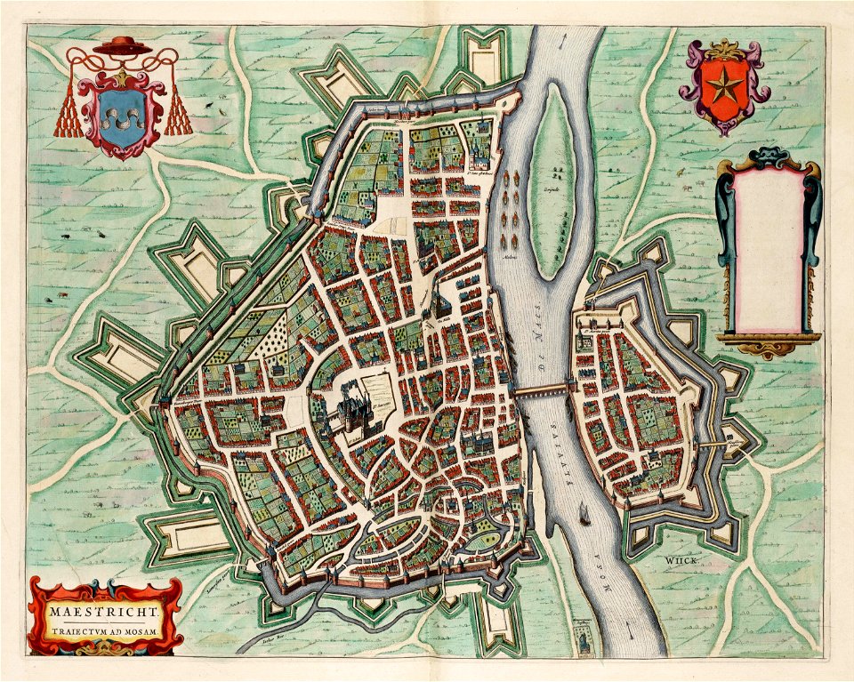
map of maastricht by willem and johannes blaeu (1649)
jekerkwartier (maastricht)
atlas maior, vol 2 (sweden, russia, poland, eastern europe, and greece) - joan blaeu, 1667 - bl 114.h(star).2
17th-century maps of romania
atlas maior, vol 2 (sweden, russia, poland, eastern europe, and greece) - joan blaeu, 1667 - bl 114.h(star).2
17th-century maps of poland
15th-century fur fashion
ermine (clothing) in art
the betrothal of philip the fair with joan of castile by albrecht dürer
philip i of castile
atlas maior, vol 2 (sweden, russia, poland, eastern europe, and greece) - joan blaeu, 1667 - bl 114.h(star).2
old maps of macedonia
atlas maior, vol 5 (england) - joan blaeu, 1667 - bl 114.h(star).5
17th-century maps of yorkshire
atlas maior, vol 1 (northern europe, norway, and denmark) - joan blaeu, 1667 - bl 114.h(star).1
17th-century maps of iceland
atlas maior, vol 5 (england) - joan blaeu, 1667 - bl 114.h(star).5
17th-century maps of yorkshire
atlas maior, vol 5 (england) - joan blaeu, 1667 - bl 114.h(star).5
17th-century maps of yorkshire
joan van der spriet
increase mather
atlas maior, vol 5 (england) - joan blaeu, 1667 - bl 114.h(star).5
old county maps of pembrokeshire
old maps of westphalia
bindenschild
atlas maior, vol 2 (sweden, russia, poland, eastern europe, and greece) - joan blaeu, 1667 - bl 114.h(star).2
1667 maps of russia
old maps of the spanish empire
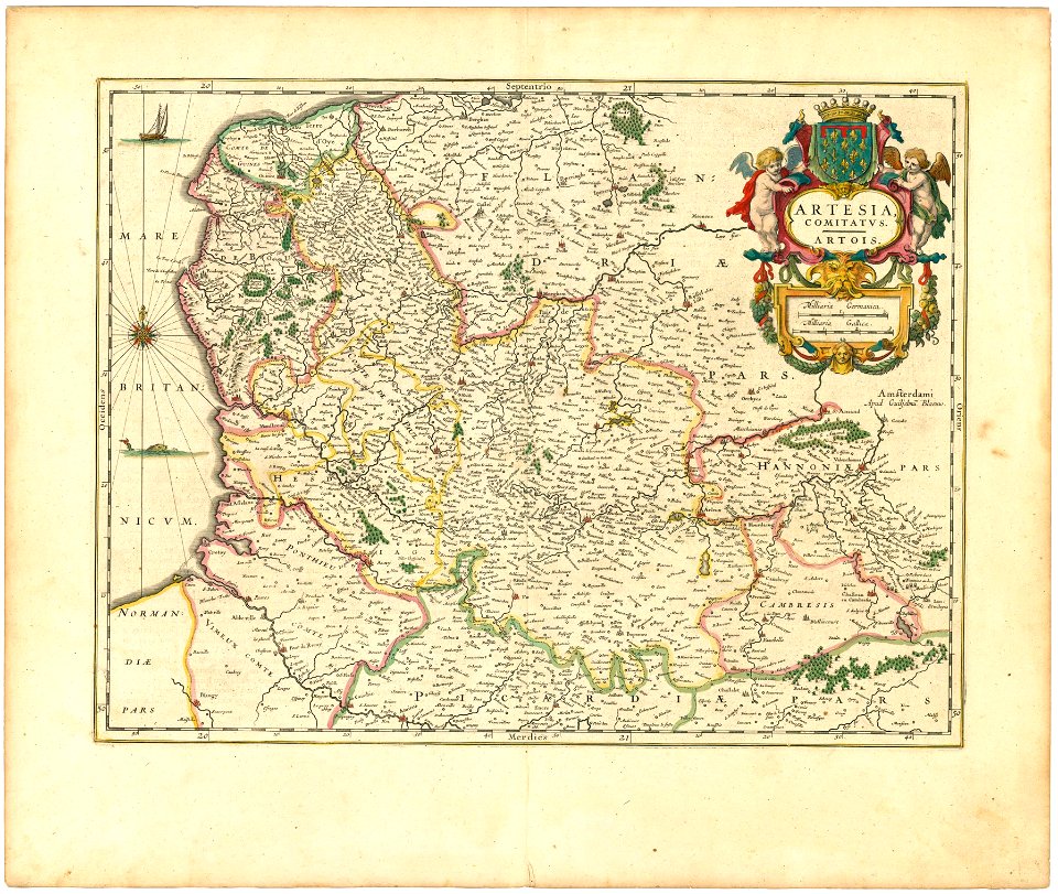
old maps of regions of france
maps by willem and johannes blaeu
spain in the 17th century
maps by willem and johannes blaeu
coats of arms on maps
coats of arms of maastricht
coats of arms on maps
old maps of the stations of the exodus
joan blaeu
atlas maior, vol 2 (sweden, russia, poland, eastern europe, and greece) - joan blaeu, 1667 - bl 114.h(star).2
maps of slavonia by gerardus mercator
atlas maior, vol 2 (sweden, russia, poland, eastern europe, and greece) - joan blaeu, 1667 - bl 114.h(star).2
17th-century maps of prussia
maps in the national library of scotland
blaeu atlas of scotland 1654
1660s maps of spain
1667 maps
16th-century maps of the black sea
maps of the middle east
15th-century paintings of saint john the evangelist
red dragon of apocalypse
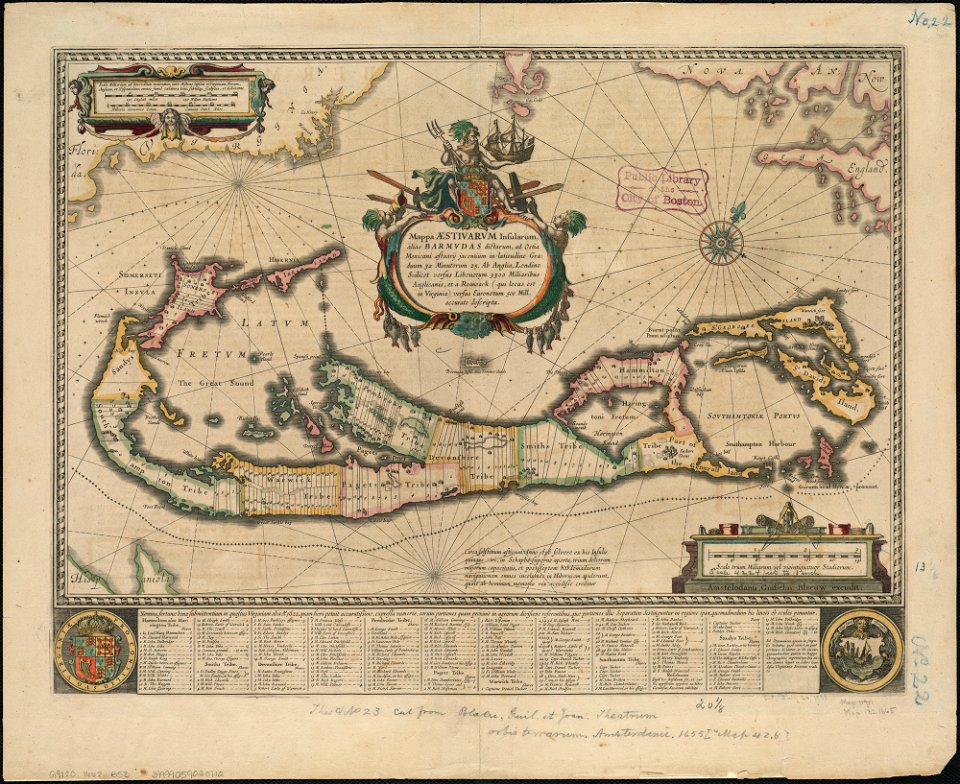
1650s maps of the atlantic ocean
joan blaeu
map of maastricht by willem and johannes blaeu (1649)
kleine gracht (maastricht)
atlas maior, vol 1 (northern europe, norway, and denmark) - joan blaeu, 1667 - bl 114.h(star).1
1667 maps
atlas maior, vol 2 (sweden, russia, poland, eastern europe, and greece) - joan blaeu, 1667 - bl 114.h(star).2
maps of candia by ortelius and mercator
etchings in the rijksmuseum amsterdam
frans post
1660s maps of spain
1667 maps
atlas maior, vol 2 (sweden, russia, poland, eastern europe, and greece) - joan blaeu, 1667 - bl 114.h(star).2
17th-century maps of scandinavia
atlas maior, vol 2 (sweden, russia, poland, eastern europe, and greece) - joan blaeu, 1667 - bl 114.h(star).2
17th-century maps of the aegean sea
atlas maior, vol 2 (sweden, russia, poland, eastern europe, and greece) - joan blaeu, 1667 - bl 114.h(star).2
17th-century maps of the aegean sea
atlas maior, vol 1 (northern europe, norway, and denmark) - joan blaeu, 1667 - bl 114.h(star).1
17th-century double hemisphere world maps
atlas maior, vol 2 (sweden, russia, poland, eastern europe, and greece) - joan blaeu, 1667 - bl 114.h(star).2
17th-century maps of scandinavia
maps of rotterdam by berckenrode
maps of haringvliet (rotterdam)
maps by willem and johannes blaeu
jodocus hondius
nuevo atlas o teatro mundo
old maps of the arctic
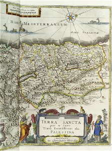
old maps of the holy land
joan blaeu
old maps of the holy land
joan blaeu
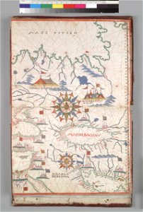
historical maps of baía de todos os santos
maps by willem and johannes blaeu
historical maps of baía de todos os santos
maps by willem and johannes blaeu
maps by willem and johannes blaeu
old maps of israel
historical images of the moscow kremlin
17th-century maps of moscow
paintings in the musée d'art moderne et contemporain de strasbourg
faces in profile
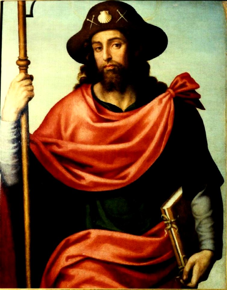
16th-century paintings of saint james the greater
1560s paintings in spain
atlas maior, vol 2 (sweden, russia, poland, eastern europe, and greece) - joan blaeu, 1667 - bl 114.h(star).2
coats of arms of the tsardom of russia
17th-century maps of crimea
1640s maps of ukraine
1640s maps of the tsardom of russia
17th-century maps of circassia
atlas maior, vol 2 (sweden, russia, poland, eastern europe, and greece) - joan blaeu, 1667 - bl 114.h(star).2
17th-century maps of estonia
maps by willem and johannes blaeu
fort rammekens in art
maps by willem and johannes blaeu
novus atlas blaeu
maps by willem and johannes blaeu
circumvallation
atlas maior, vol 2 (sweden, russia, poland, eastern europe, and greece) - joan blaeu, 1667 - bl 114.h(star).2
17th-century maps of finland
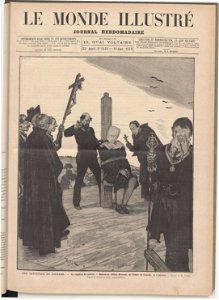
executions by garrote
madrid
paintings of saint bruno of cologne in spain
renaissance paintings in the mnac
rerum per octennium in brasilia
baroque
atlas maior
1672 books
17th-century maps of slovenia
17th-century maps of istria
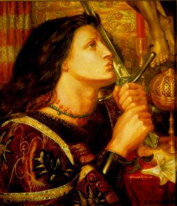
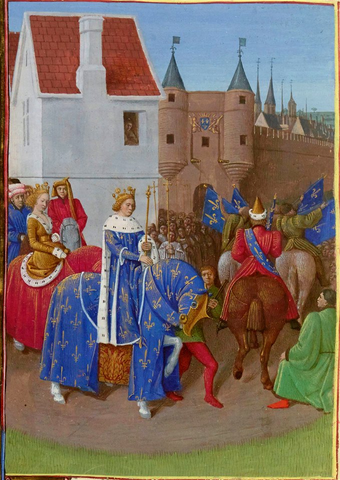
jeanne d'arc devant orléans, panthéon
siege of orléans
atlas maior, vol 4 (netherlands) - joan blaeu, 1667 - bl 114.h(star).4
british library
atlas maior, vol 12 (america) - joan blaeu, 1667 - bl 114.h(star).12
british library
atlas maior, vol 3 (germany) - joan blaeu, 1667 - bl 114.h(star).3
british library
atlas maior, vol 5 (england) - joan blaeu, 1667 - bl 114.h(star).5
british library
maps by willem and johannes blaeu
old maps of groenlo
dutch 18th-century prints in the rijksmuseum amsterdam
cemeteries in gelderland
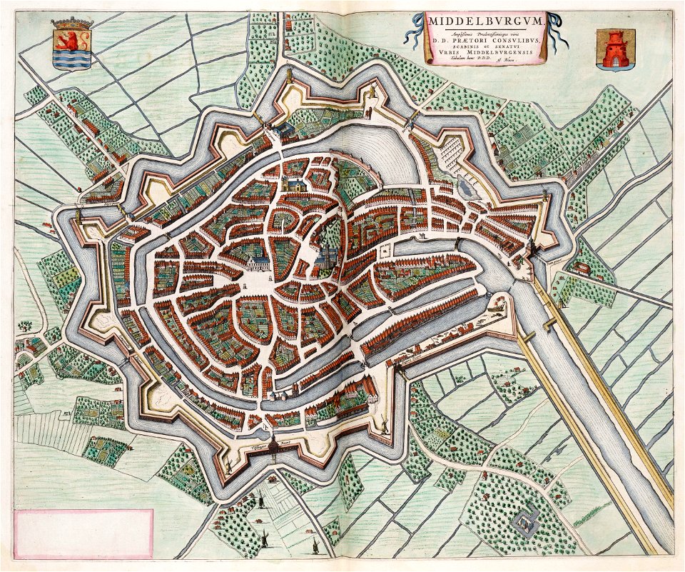
old maps of middelburg, zeeland
atlas van loon
breda, netherlands in the 17th century
old maps of north brabant
coats of arms of grand duchy of lithuania
magni ducatus lithuaniae
old maps of leiden
views of leiden
executions by garrote
madrid
royal entry
joan
artworks without wikidata item
rogers fund
1101 - 1200 of 2,891
Next page
/ 29


![[a] Bedfordiensis Comitatvs; [b] Bvckinghamiensis Comitatvs, Joan Blaeu, 1667](https://cdn.creazilla.com/illustrations/10001510670/a-bedfordiensis-comitatvs-b-bvckinghamiensis-comitatvs-joan-blaeu-1667-sm.webp)


![Sinus Omnium Sanctoru[m] [Cartográfico], Joan Blaeu, between 1664 and 1665](https://cdn.creazilla.com/illustrations/10000412512/sinus-omnium-sanctoru-m-cartogr-fico-joan-blaeu-between-1664-and-1665-md.jpg)
![Sinus Omnium Sanctoru[m] [Cartográfico], Joan Blaeu, between 1664 and 1665](https://cdn.creazilla.com/illustrations/10000943692/sinus-omnium-sanctorum-cartogrfico-joan-blaeu-between-1664-and-1665-sm.webp)